Click on the pictures for a larger view.

The trail starts out in thick, cool forest. On the middle tree, there is one of the many squirrels we came across. It wasn't pleased that were there and chattered at us the whole time we were there.

Sherman Peak is covered in these rock fields, which gives it a barren look.

The trail starts out steep. We stopped to rest so I got some pictures of the boys. I told Jake that he always looked out of it in the hiking pictures so I told him to look more intelligent. This is what he came up with.


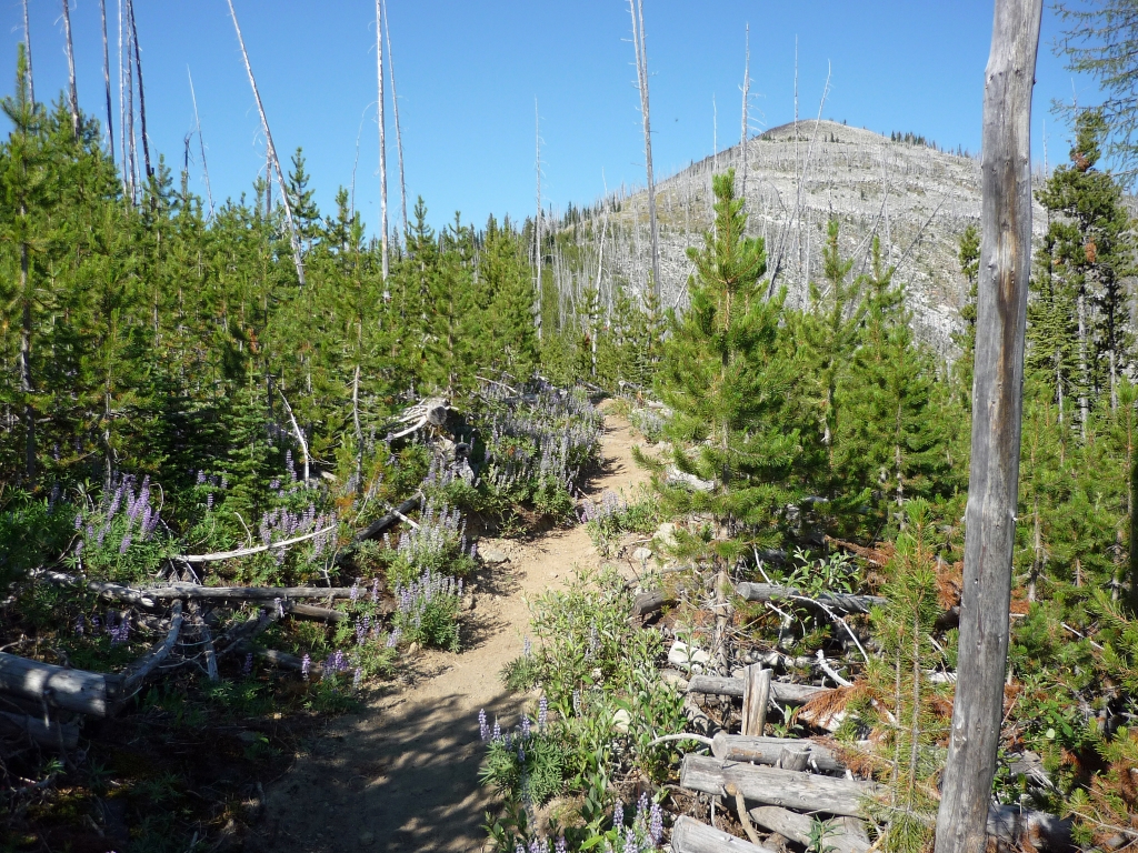
The trail climbs up through the site of the White Mountain Fire.

Heading into the burned area. Sherman Peak and the ridge connected to it form a bowl. Most of that area burned.

Looking down into the bowl. it's coming back slowly.

There are still a lot of old snags in the area. The burn site wasn't logged afterward so most of the dead stuff has fallen, providing a lot of fuel for the next fire.

The mountain in the background, in the middle, is Wapaloosie, where we hiked last time. The mountain to the left is Columbia Mountain.

Looking up at Sherman Peak.

The trail loops around in front of Sherman Peak and then climbs the ridge. The boys are taking a break here after the steep climb.

The dead snags looming overhead were kind of eerie.

The trail on the ridge, looking toward Sherman Peak. You can cross country here to go to the top but there is no official trail.
The trail on the ridge was lined with lupine. It smelled great.

Butterflies on the wildflowers.

The back side of the mountain had more meadows and was less rocky. There were tons of wildflowers. That's Snow Mountain in the background.

We found a great place to rest for a while. It was shady and the pass between Sherman Peak and Snow Mountain funneled the breeze along there so it was nice and cool.

We met up to Sherman Loop Trail #72 on the Northwest side of the mountain. There was a great view but the terrain was less interesting. The road below is Highway 20 heading toward Republic.

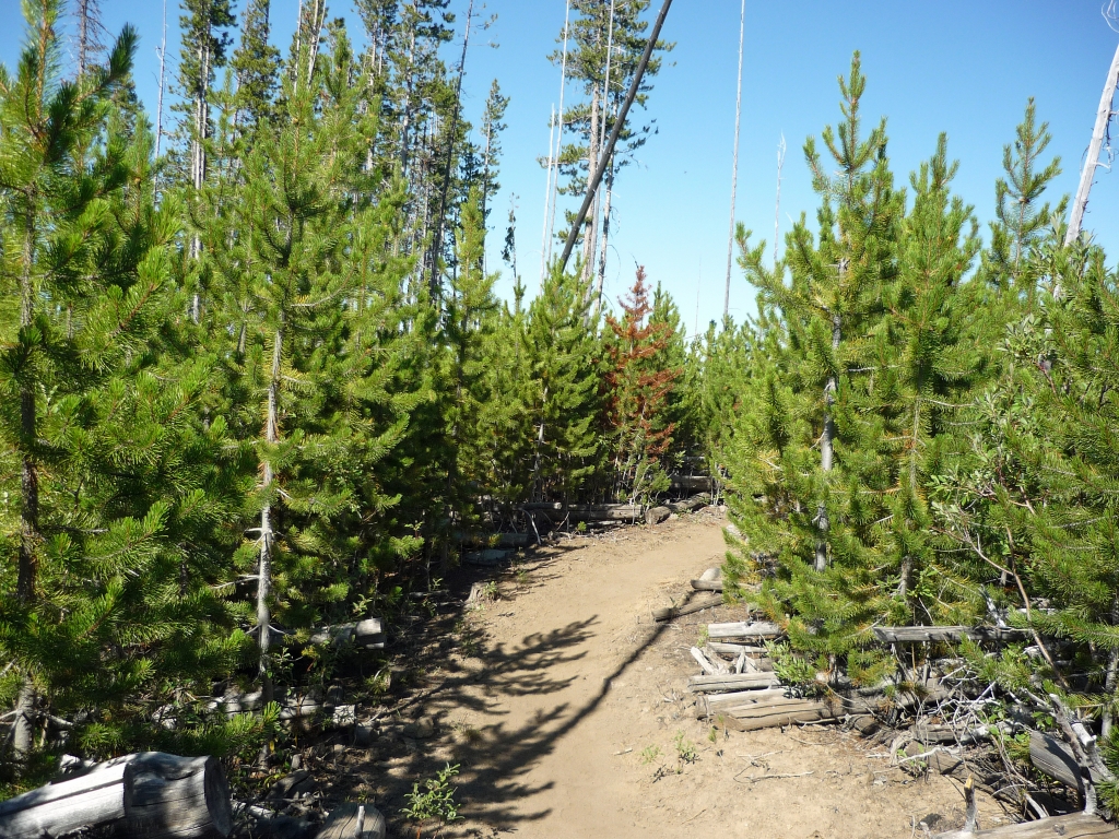
There were areas where the young trees were so thick that it was like going through a maze. You couldn't see very far up the trail. Fortunately, there were no bears or cougars hiding in there.
Looking at the backside of Wapaloosie and Columbia Mountains.

Sherman Lake. We didn't go to the lake because it looked like a mosquito haven.


